

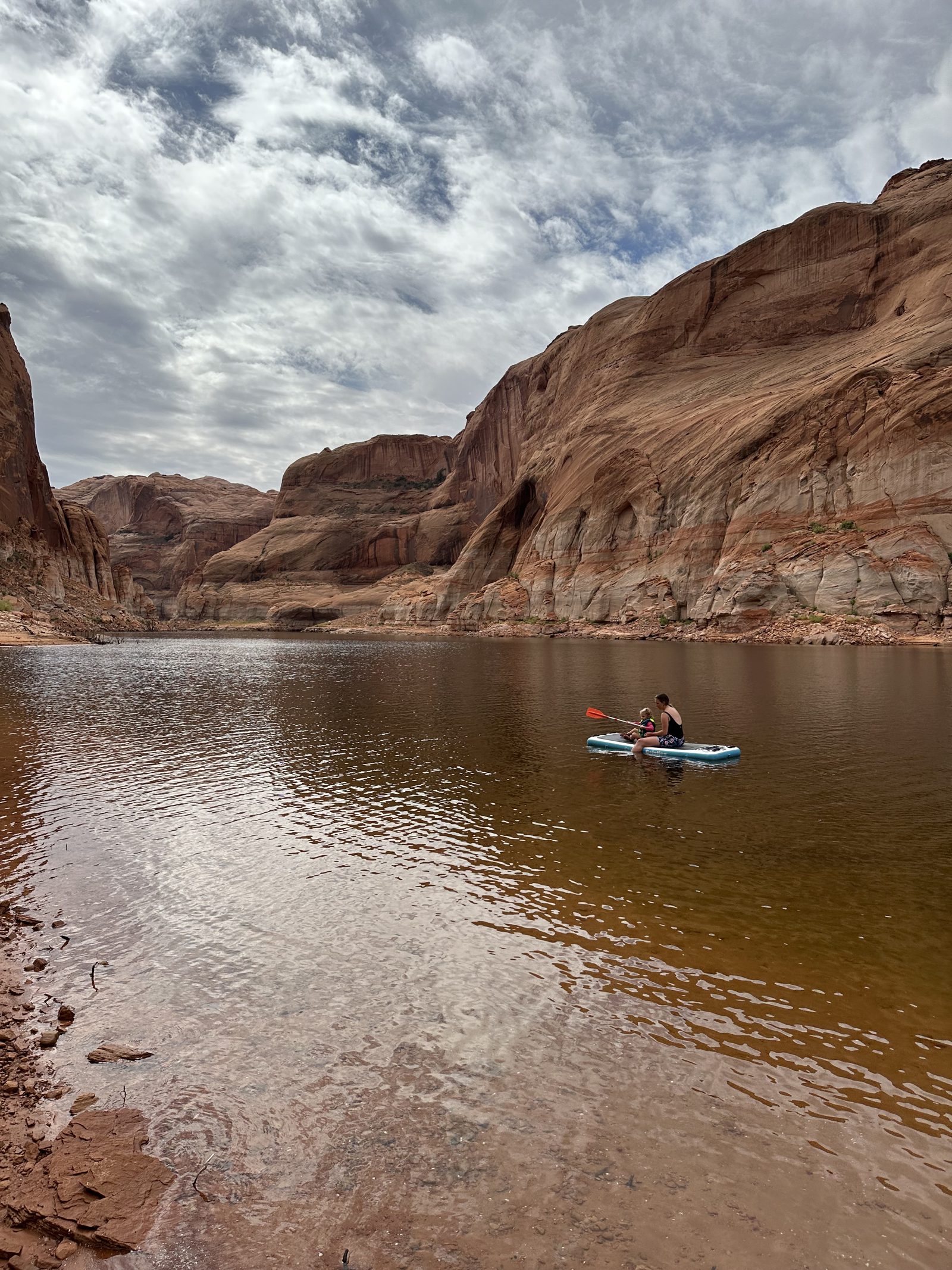
Lake Powell, as it is today.
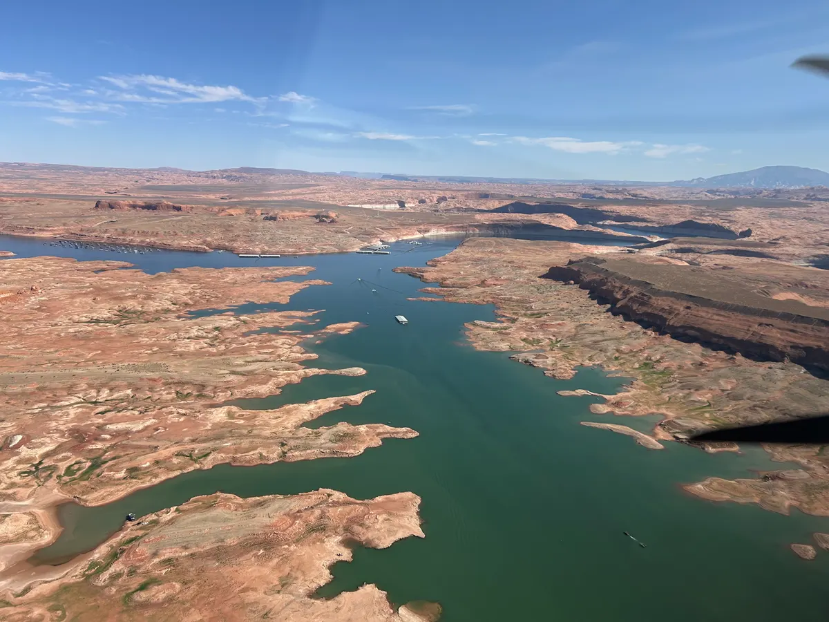
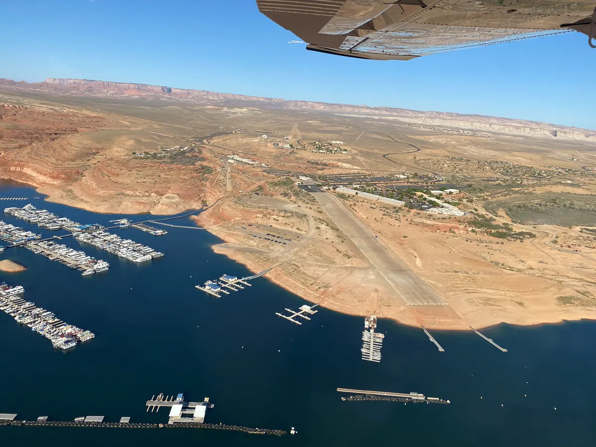
Lake Powell is at 3,539.9 ft, 160 ft below full pool. Much of what other maps show as water is dry lakebed. Lake Powell Now shows the shoreline, the ramps and 332 places as they are today.
Nov 14 reading · USBR
- +1.3 ft this week
- +20.1 ft in 30 days
- 27.6% full
- 3 of 9 ramps open to motorboats
NPS status as of Oct 30 – Nov 13may be out of date
Not for navigation. Conditions change fast. Check the National Park Service before you launch.
Live now on the lake
 Close Wahweap Main Launch Ramp
Wahweap Main Launch Ramp and lot, water line, Government Docks, pump-out, and Wahweap Marina beyond
 Close Paria Overlook
The view from the Paria Plateau down to the Colorado River and the road to Lees Ferry, 15 miles below Glen Canyon Dam
 Close Lees Ferry (upstream)
The Colorado River at Lees Ferry looking upstream toward Glen Canyon, with boats and the launch area on the left bank
 Close Lees Ferry (downstream)
The Colorado River at the Lees Ferry gauge looking downstream
 Close Stateline Auxiliary Launch Ramp
The lot above the Stateline Auxiliary ramp, water line, and courtesy dock area
Preview poster, not a current webcam frame.
Still images use the camera server’s last update. Images can lag. Not for navigation.
More webcams →Lake Powell from space
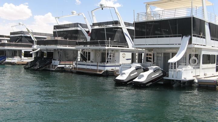
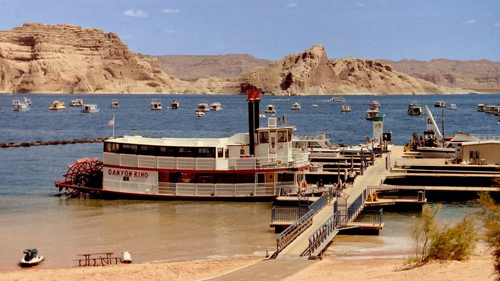
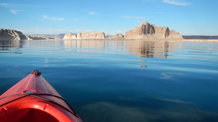
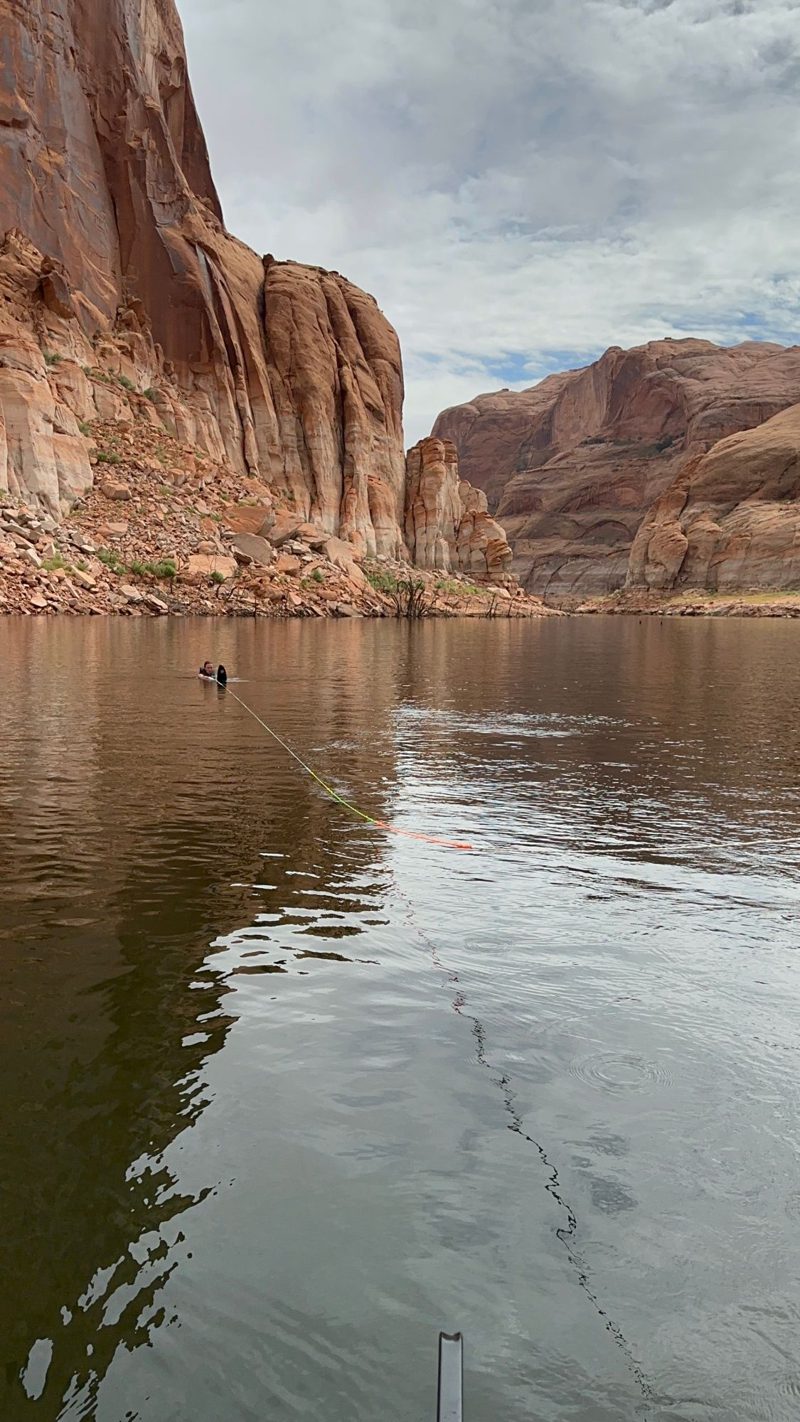
Recent NPS photos

Drag the lake
Drag the slider to see Lake Powell's shoreline at any level from 3,490 to 3,620 ft.
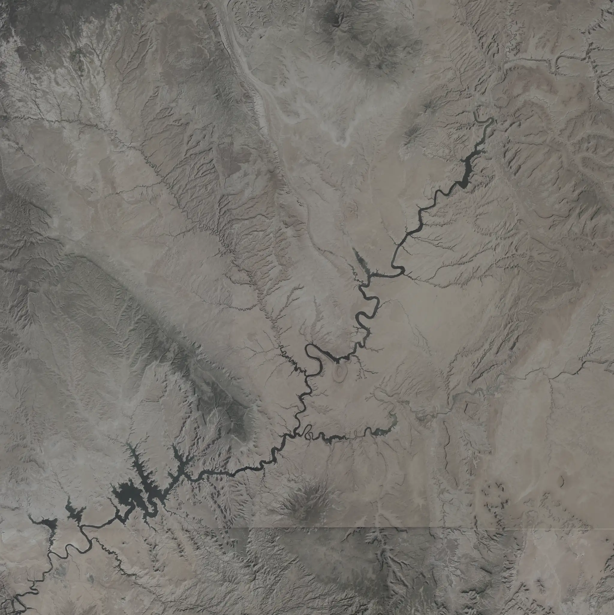


Pinch or use + to zoom into any part of the lake. The zoom stays put while you change the level.
Where this map started
Lake Powell Now began as an offline map AJ Brau made at 15 for boaters out of cell range. This is that idea, rebuilt for today's lake.
Take this map on the water
Free on Wander. Download the map before you launch: there's no cell service on most of the lake.